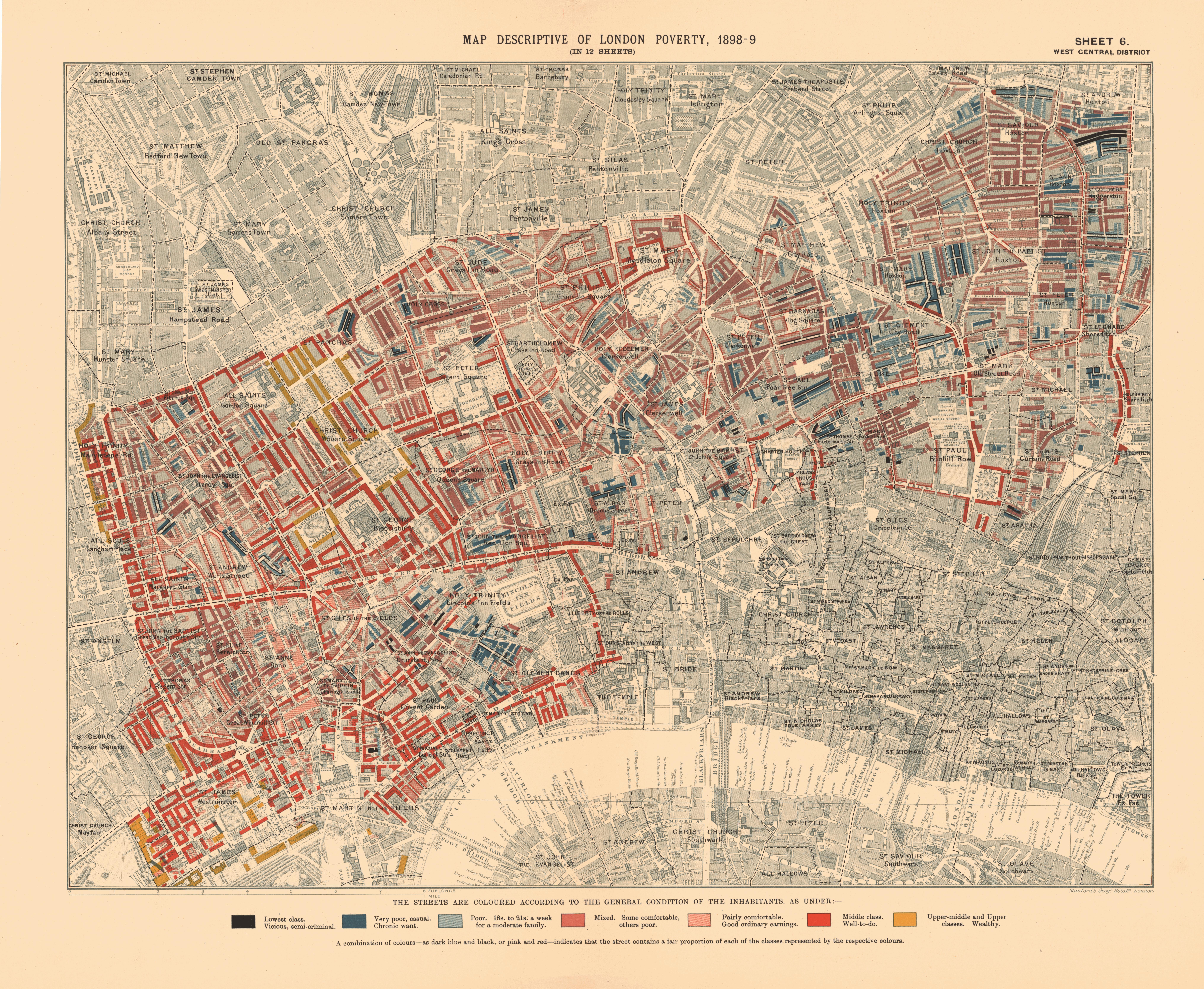
LSE street sheets: 1898–99, printed series published in 1902–03. Wellcome
overview: information collected in 1889–90, from the book published 1892–97.
Dates follow each map’s printed title and catalogue.
LSE map downloads ↗ ·
Reuse statement ↗
LSE marks its digitised archival maps as Public Domain Mark. Original scans are preserved
unchanged; smaller review images are generated for this app. The Wellcome overview is
credited to Wellcome Library, London under CC BY 4.0 for the specific Commons scan; its
licence context and resized derivatives are recorded in the provenance index.
Open the complete map provenance index →
Acquired maps and views
Inventory
Explore the wider archive collections →
The inventory is a discovery record. A source being listed does not mean it is aligned or
available in this viewer.
Alignment evidence
Sheet registration is under independent review. Individual sheet views remain available.
Download source inventory (JSON)
Download alignment evidence (JSON)
Geographic controls and placement uncertainty (JSON)
Materials
Brown leather: original AI-generated decorative texture, flat lighting and no bevel.
Paper: reused London Webcam book-paper asset. Neither is historical evidence.