

A junction made of water
Little Venice is a meeting of waterways. Canal & River Trust places it where the Grand Union Canal meets the Regent’s Canal, and describes the triangular pool at the junction. That connection is the useful fact behind the picturesque name. A stretch of water that seems to offer only a quiet view also belongs to a network leading beyond the scene.
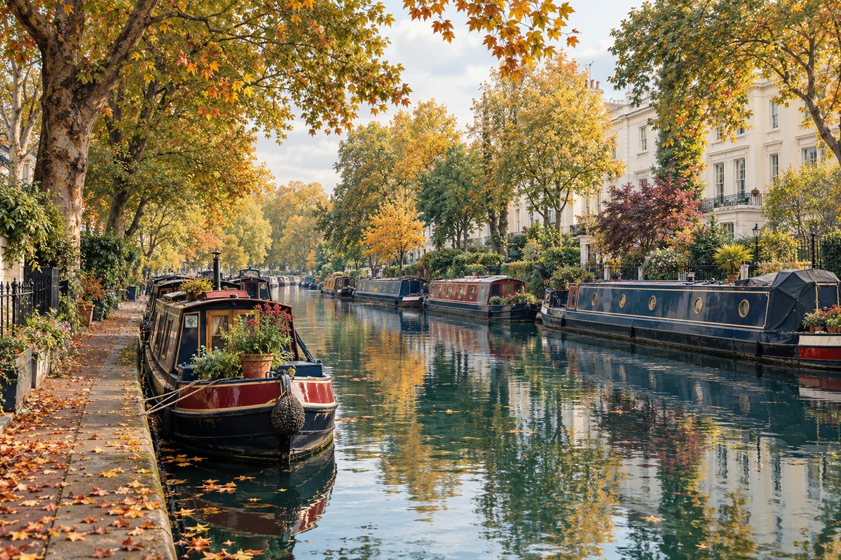
Our illustration brings moored narrowboats, trees and reflections together. It does not supply a measured map of the junction or identify particular moorings. To understand the place, use the image and a documented map for different tasks: the picture helps you notice shapes and atmosphere; the map explains where the water goes. A calm composition can be a starting point for understanding movement.
A route across London
The Regent’s Canal Company was formed in 1812 to connect the Grand Junction Canal’s Paddington Arm with Limehouse and a planned dock beside the Thames. The canal was completed in 1820. Timber, coal, building materials and food travelled along this route, and long-distance commercial traffic continued into the 1960s.
Those cargoes make the water’s role concrete. A canal needed to connect places where goods arrived, were transferred or were used. The routes and junctions mattered to that work. When we look at a boat lying quietly beside the bank, we can remember the transport system without inventing a cargo or a history for the particular boat in front of us.
Why the canal names overlap
Canal names record changes in organisation as well as geography. The Trust’s Grand Union history explains that the Regent’s, Grand Junction and two Warwick canals merged in 1929 under the Grand Union name. Older route names remain useful when describing parts of that network. The Paddington Arm in the earlier history and the modern Grand Union description therefore need to be read in their respective contexts.
A little care with the names prevents the junction from becoming confusing. Begin with the present meeting of waterways, then use the historical names to understand the earlier connection. You do not need to memorise the entire network to appreciate this pool. Knowing that it is a junction already makes the lines of water more meaningful.
Read a waterside scene
Use this illustrated view to separate the water’s shape, the moored boats and the reflections. Then consult the official waterway information if you want to identify the real junction or follow a route.
These notes stay on this page. Nothing is saved or sent.
Still water and working places
Reflections can make the same scene appear twice, but with different clarity. A boat’s upper outline may be crisp while its reflection breaks into bands of colour. Follow that difference rather than trying to identify every small object. The long shape of a narrowboat and the vertical rhythm of trees give the illustration two scales to compare.
A moored boat may be a home or a working space; a view cannot establish its occupants or availability. Keep observation respectful and use the Trust’s current guidance for access and route conditions. There is no Little Venice camera in our collection. The Tower Bridge engineering folio offers another chapter about London water, where the moving road and the river negotiate their shared space.
Sources & further reading
Official references inform this guide. Check the responsible organisation for current access, opening times and travel advice.